Aerial Photography Services
We specialize at getting the shot from the air, with state of the art UAVs and camera platforms for Aerial Photography & Cinematography. We now offer industrial aerial photography services focusing on automated mapping, survey and inspection.
What We Offer in Aerial Photography Services
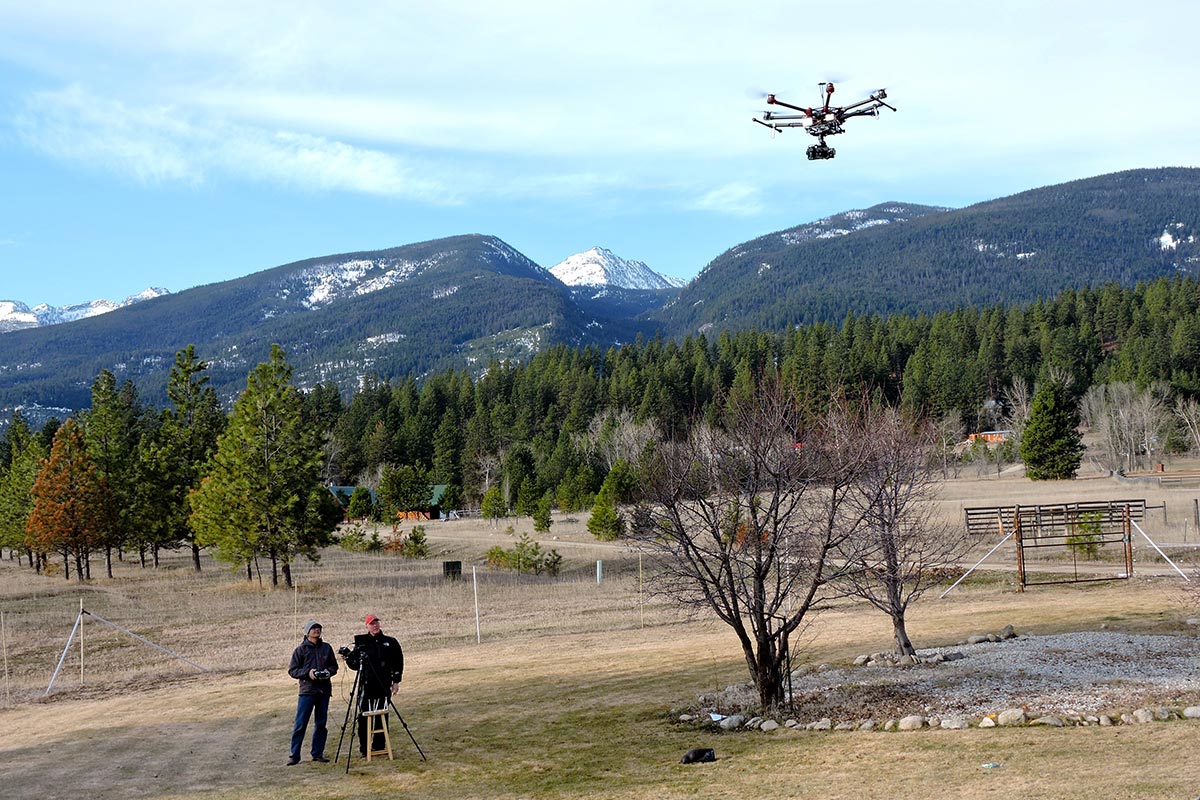
We have pioneered Aerial Drone (UAV) and camera stabilization platforms (gimbals) since 2014, and have perfected the craft. We are thrilled at the opportunity drones and these stabilizing gimbals have on the cinema and photography business! A helicopter movie shot that used to cost thousands per hour and was very dangerous due to the pilot and cameraman on board, as well as dangerous jet fuel on board and on the ground ready to refill, and has many moving parts that had to be constantly serviced with an on-set helicopter mechanic. These are now replaced with a much more efficient, precise and safer way of getting that aerial tracking or establishing shot. There is very little downdraft (rotor wash) that helicopters create on their filming subjects below, and the drones can get tighter with more precise shots and moves. They can fly at up to 70mph, following or tracking any object in a pre-programmed shot sequence or with a remote pilot using a visual manual control.
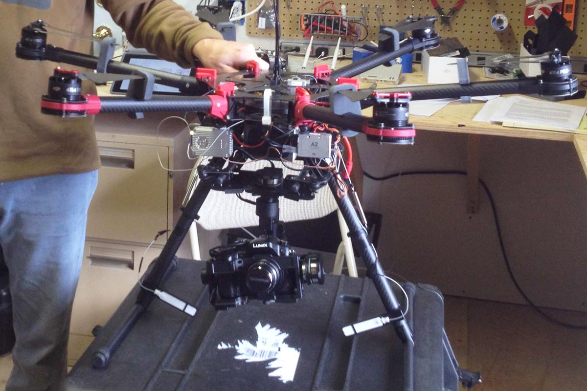
Our drones carry cameras of all sizes
From the Canon 5D Series, the micro 4/3rds format Panasonic GH4 with 4K resolution to the many GoPro and other miniature cameras. There are many add-on software companies that are helping with the automation of drone cinema; such as orbits, zip-line, focus points, target, follow-me, panoramic photography shots, follow an object or electronic device, mimic, and waypoints and focus points that can be pre-plotted on google maps before any shooting takes place. Michael J. Emmer has worked as a Director of Photography for 26 years and has come up with new types of dynamic filmic moves for his industry and he continues to be a leader in innovative ways to story tell with these cinematic tools, moves and shots.
Other UAV/Drone Industries We Service
Our UAV/Drones can also create 3D topographic maps of any property and structure. We survey and study agricultural crops, soils and perform livestock analyses with our special infrared cameras on board our UAV/Drones. This translates directly to farmers and growers gaining more profits where their soils are the most productive for a particular type of crop or where their soils will support the most livestock year after year.
We can set up an automated surveillance or inventory system for any ranch, land owner or corporation. We also work directly with many leading camera gimbal inventors to introduce new film-making techniques or carry any camera on board a UAV/Drone system.

Bridger Productions is fully FAA certified to operate a commercial drone in United States Airspace.


